DRONE
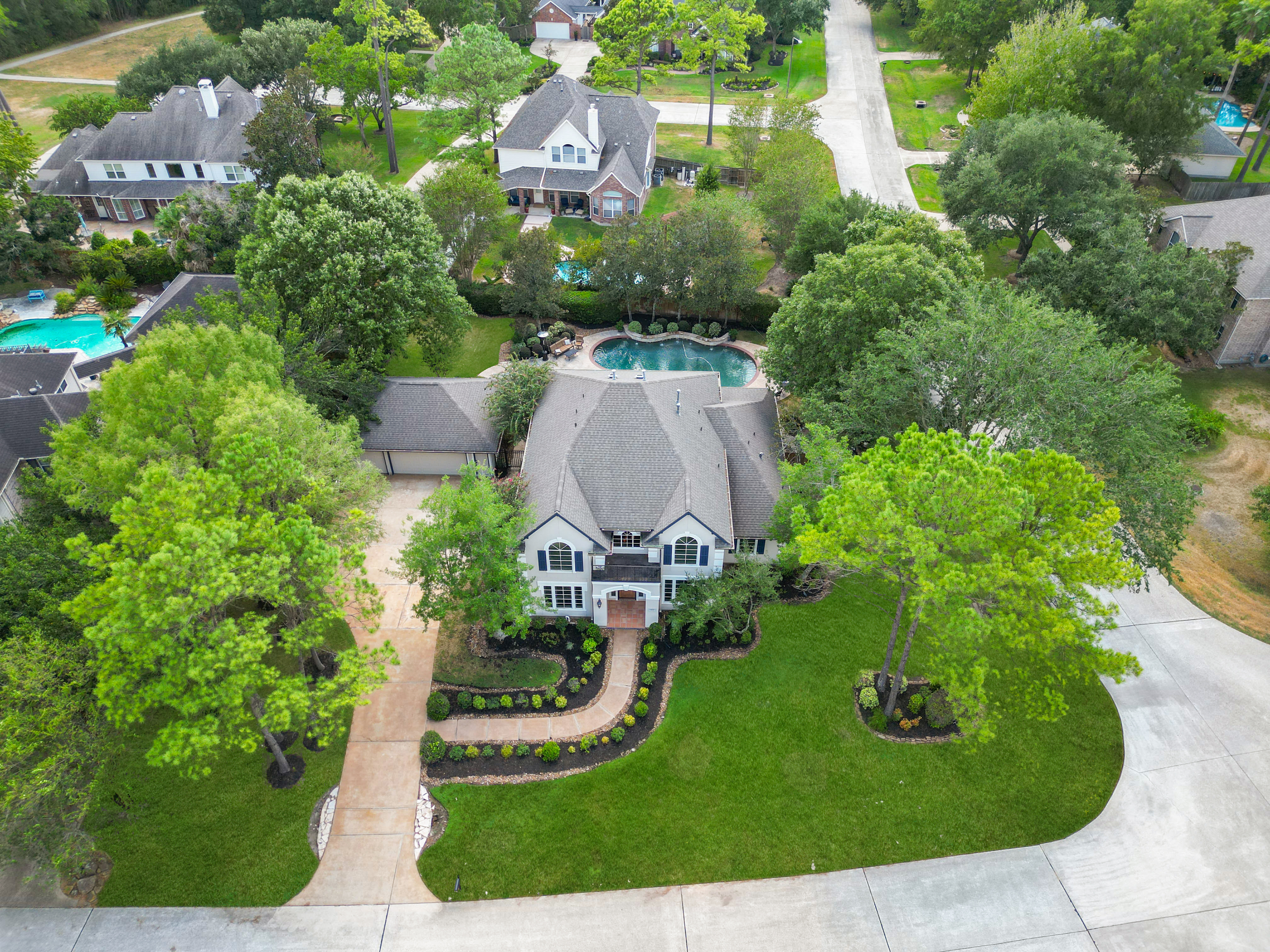
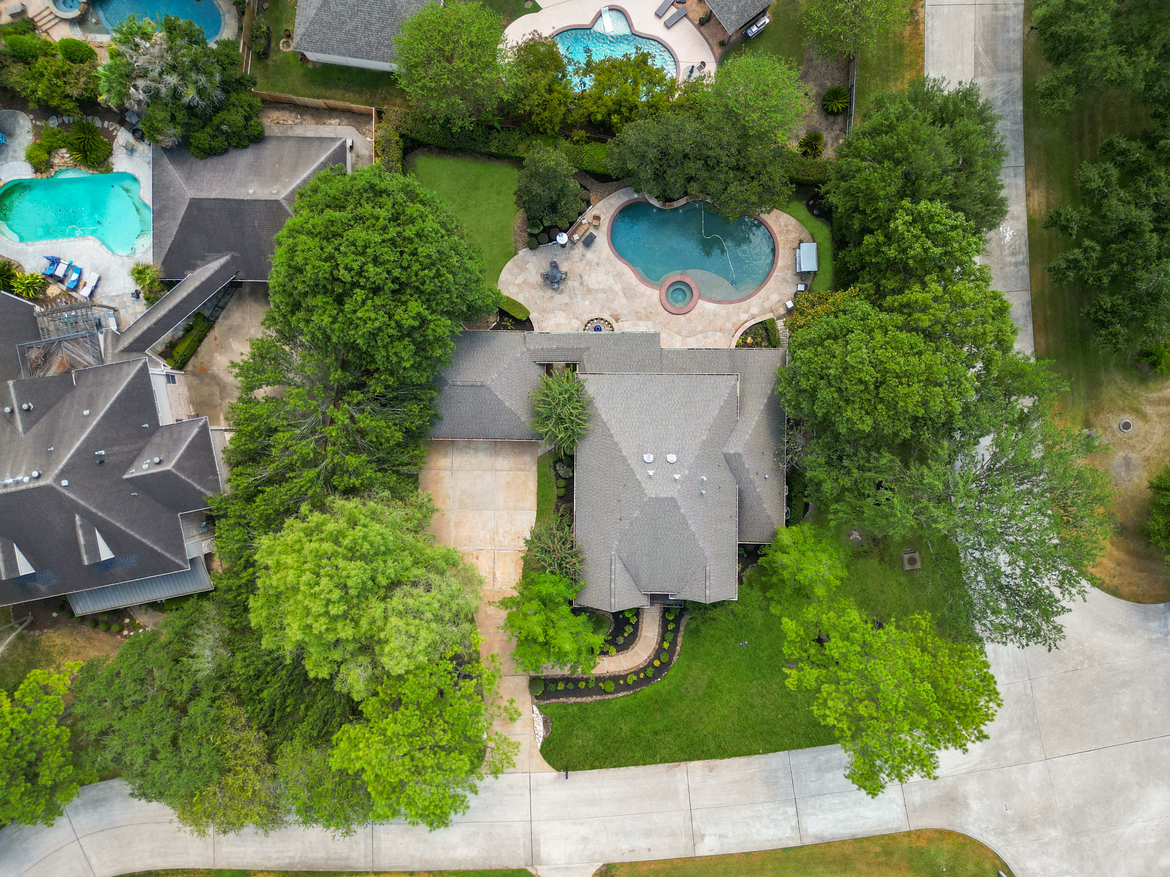
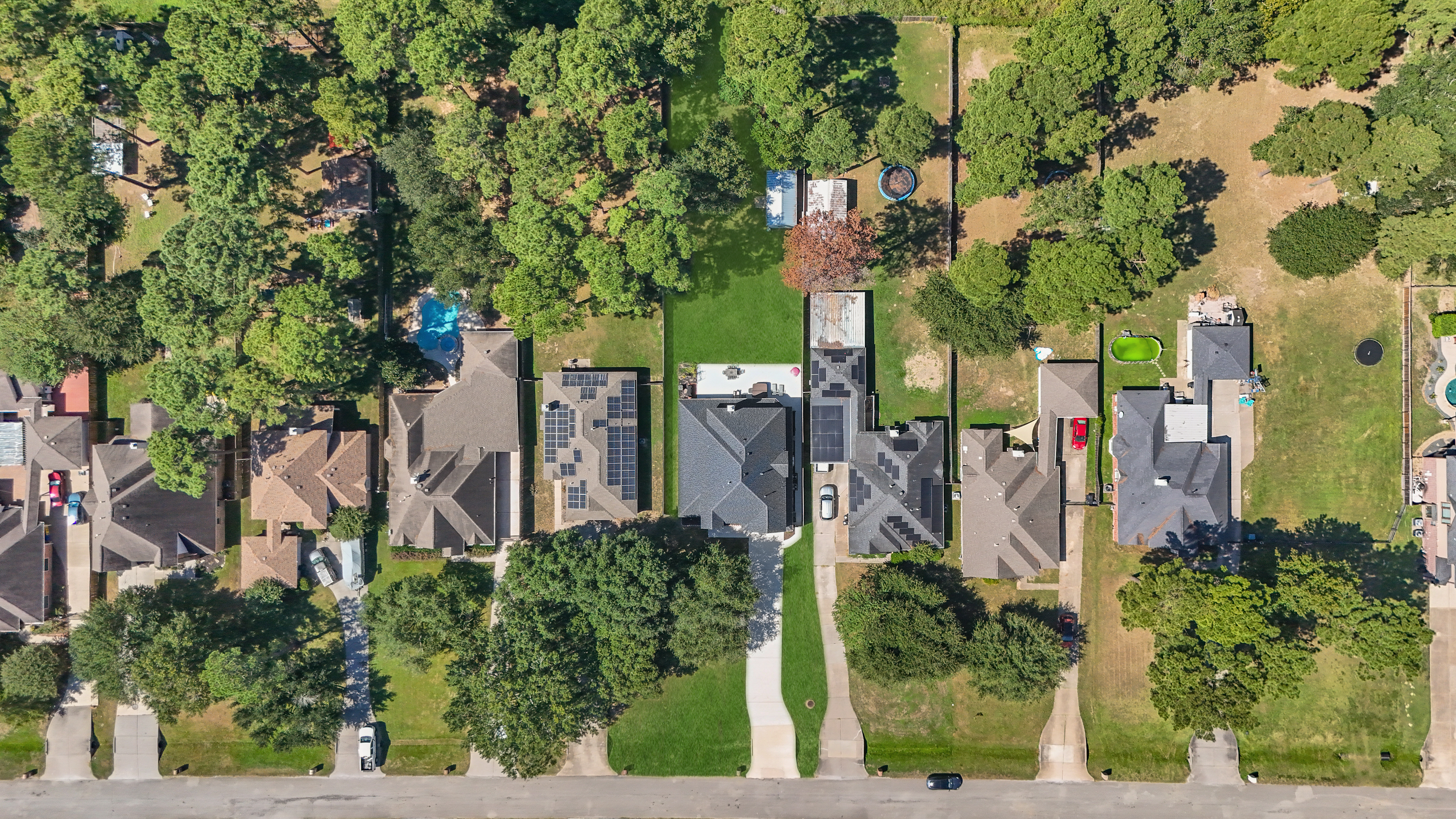
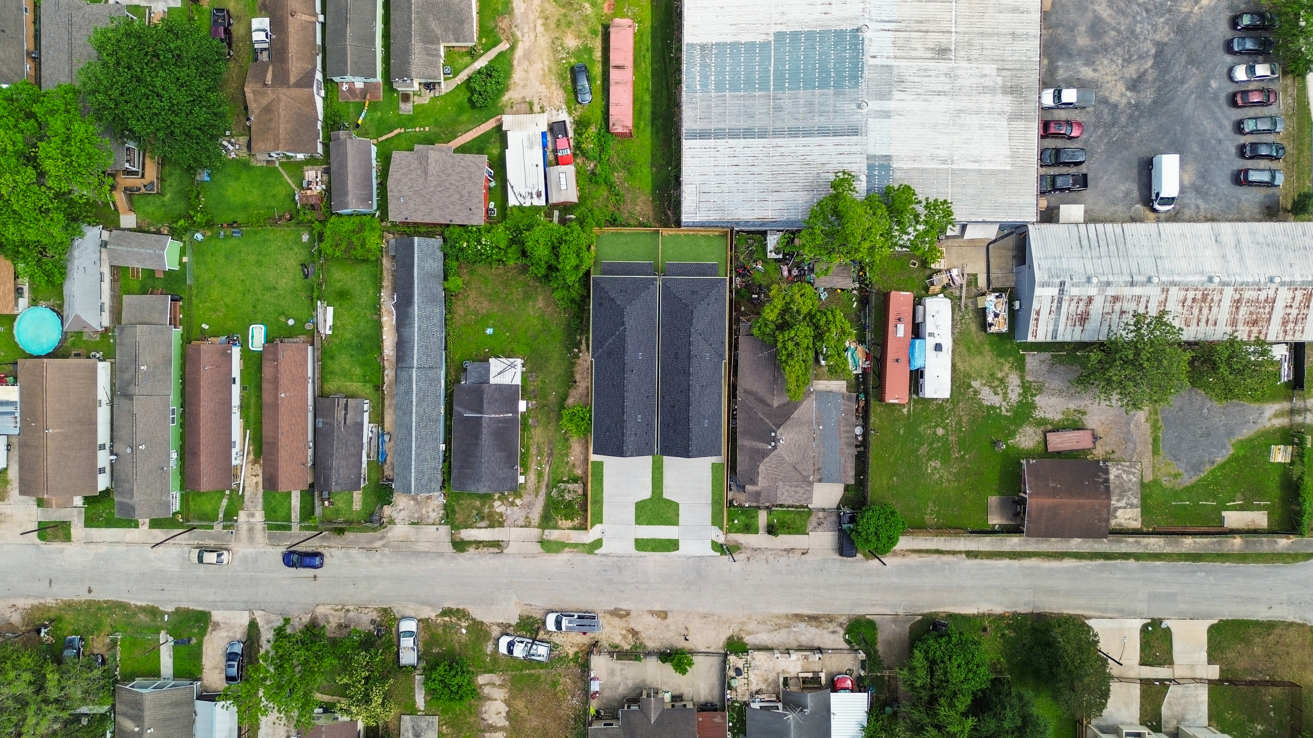
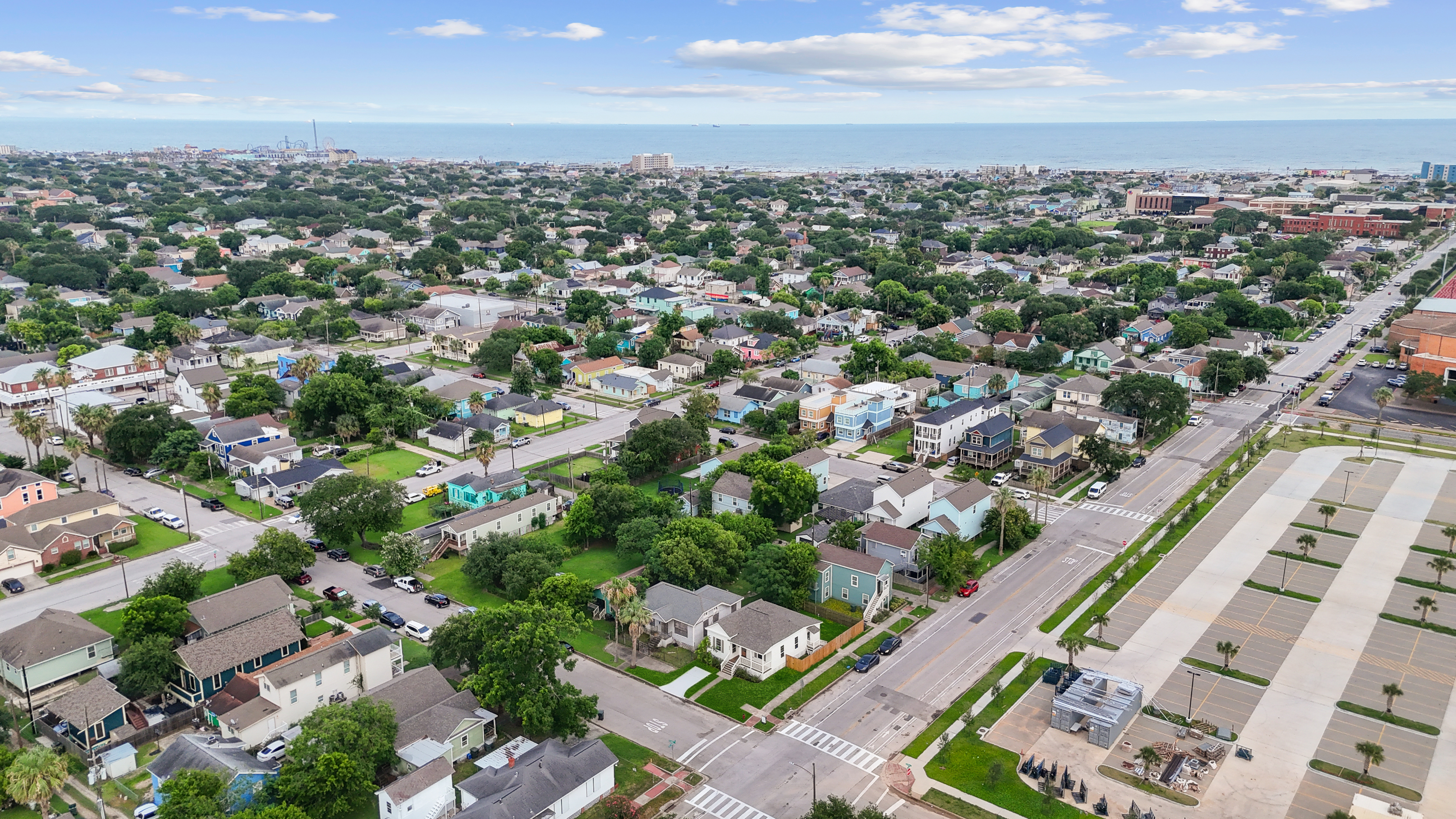
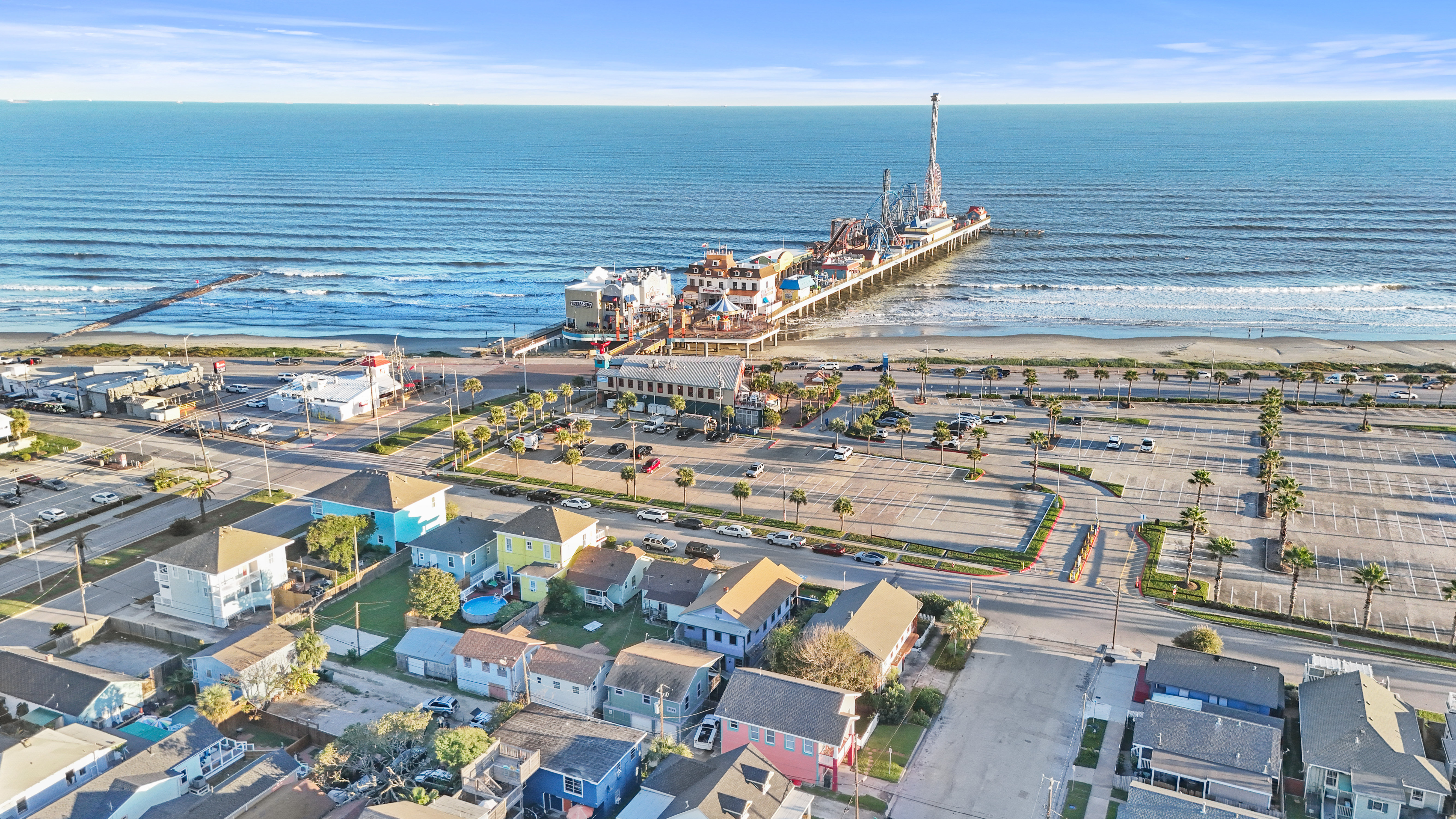
Drone Photos
High-resolution drone photos that capture properties from above, showcasing scale, surroundings, and standout features with clarity and precision.
STILL NOT SURE?
Frequently Asked Questions
Drone Photography • Drone Video • Land & Aerial Bundles
What’s included in your drone photography services?
Our drone photography includes a set of professional aerial images captured from multiple angles to showcase the property, land, and surrounding area for MLS and marketing use.
Can I book just 1 or 2 drone photos?
No. We do not offer 1–2 drone photos.
Launching a drone requires FAA-certified pilots, insurance, flight planning, and safety procedures. Once the drone is in the air, capturing multiple angles ensures proper coverage and professional results.
Why is there a minimum price for drone services?
Every drone flight includes:
FAA Part 107 licensed pilots
Fully insured equipment
Airspace and safety compliance
Pricing reflects the expertise, risk, and professionalism required—not just the number of images delivered.
Do you offer boundary lines on drone photos?
Yes. Boundary lines are available as an add-on.
We typically:
Confirm outlines with you the next business day
Finalize images by end of business day for non-complex properties.
Book your next Listing with us!
Elevate your brand with our cutting-edge real estate photography services and marketing solutions.
Quick Links
Copyright 2026. Melody. All Rights Reserved.